Penetrate Vegetation and Capture True Terrain
Our aerial LiDAR cuts through canopy cover to deliver bare-earth accuracy you can't get with photogrammetry alone. Survey-grade precision for challenging sites.
When You Need LiDAR
Heavy vegetation obscuring ground features
Bare-earth terrain modeling required
Vertical accuracy requirements under 0.1 ft
Utility corridor mapping through wooded areas
Floodplain analysis requiring precise elevations
Complex terrain with multiple elevation changes
What You Receive
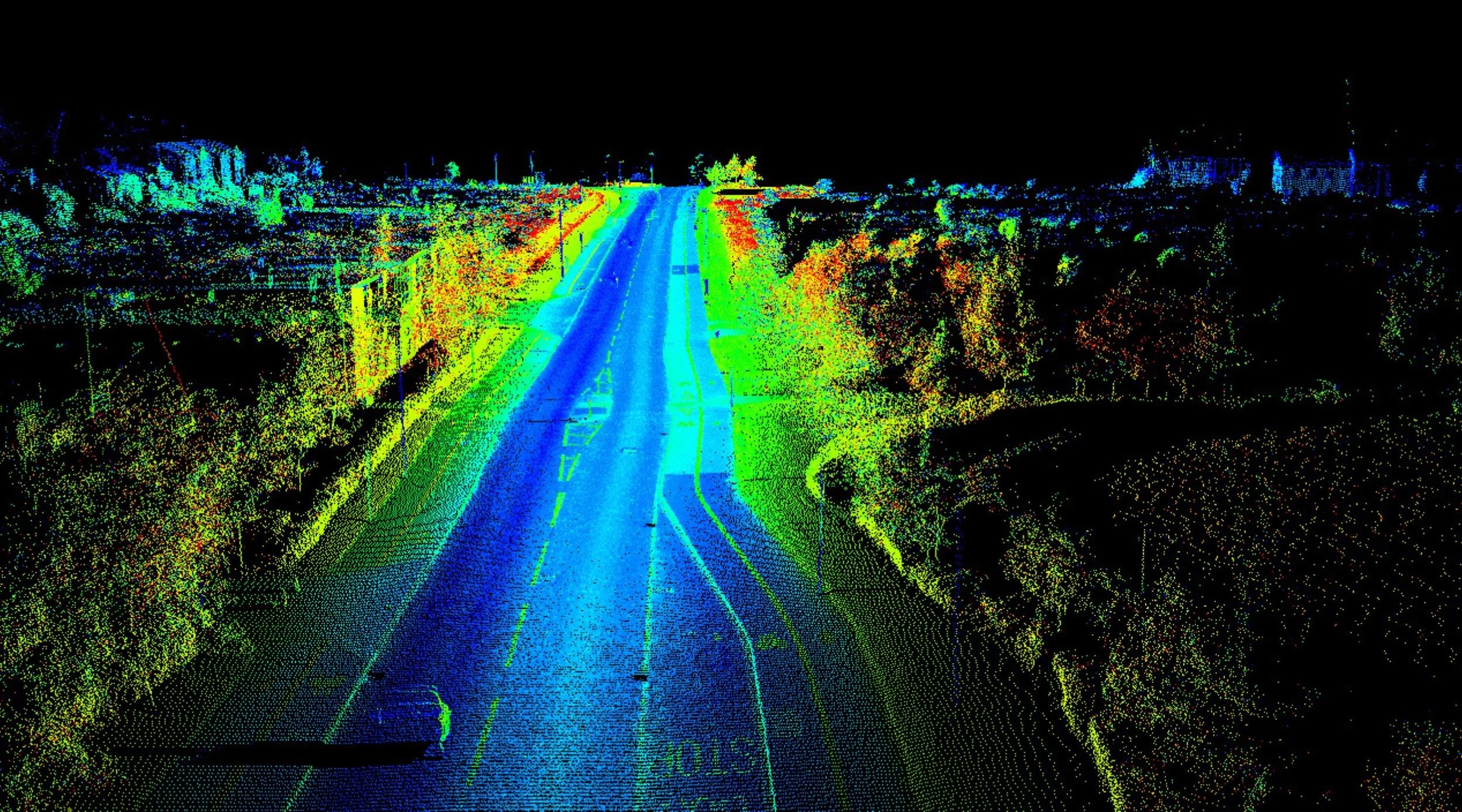
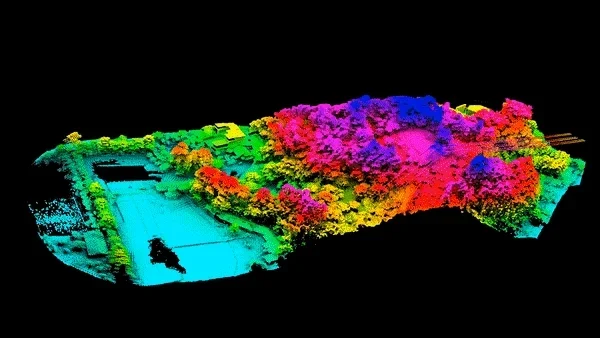
Classified point clouds (LAS/LAZ) – High‑density, survey‑grade point clouds classified into ground, vegetation, buildings, and other above‑ground classes for precise surface modeling and feature extraction.
Bare‑earth DTM / DEM (TIFF) – Terrain models derived from the LiDAR ground class at specified resolutions, ideal for grading, drainage, and cut/fill analysis.
Intensity imagery – Intensity rasters to support feature identification and quality review.
Contours – Smooth contours generated from LiDAR‑based terrain models, delivered in CAD/GIS‑ready formats.
Planimetric / linework (layered DXF) – Feature extraction from LiDAR and imagery (curbs, pavement edges, buildings, structures, etc.) organized on clean layers for easy CAD import.
Surveyor’s report & QA/QC documentation – Detailed report of acquisition parameters, processing workflow, control, accuracy statistics, coordinate system, and professional surveyor certification of accuracy, providing full QA/QC and defensibility.
Technical Specifications
Point density: Up to 200 points per square meter
Vertical accuracy: ASPRS Positional Accuracy Standards
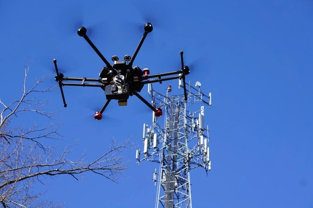
Sensor platforms: NDAA Compliant UAS & LiDAR Sensors
Survey-grade ground control integration
Same-day field QC verification
The LiDAR Process
Consultation: We discuss your project requirements, accuracy standards, and site conditions to determine LiDAR feasibility.
Flight Planning: Custom flight patterns designed for optimal point cloud density and coverage. Ground control strategy established.
Data Collection: Licensed surveyor oversees flight operations with real-time quality monitoring. Multiple passes ensure complete coverage.
Processing: Point cloud classification, filtering, and generation of analysis-ready deliverables. Full accuracy assessment and documentation.
Delivery Support: Production-ready data in your specified format, plus team training and integration support for CAD/GIS systems.
Why Choose 30 South geospatial for LiDAR?
LiDAR processing requires expertise in point cloud classification, vertical control, and accuracy standards. Our team brings decades of surveying experience to every project. We don't just collect data, we deliver datasets that perform reliably in your workflow.
How to Get Started with LiDAR Services
Book a Free Consultation
Reach out to discuss your project, and we’ll help determine the best LiDAR approach to meet your goals.Tailored Survey Plan
We’ll create a customized data collection plan designed to fit your scope, timeline, and budget.Data Delivery & Expert Analysis
Receive comprehensive, actionable data, including 3D models and reports, to help you make informed decisions.