
Aerial LiDAR and photogrammetry data
Designed for Surveyors by Surveyors
Get the ultimate accuracy you need to move your projects forward
High-accuracy aerial LiDAR and photogrammetry services for surveyors and engineers who value precision, clear communication, and seamless integration into their existing workflows.
30 South Geospatial is 30 South Surveying’s aerial mapping division, delivering high-accuracy aerial LiDAR & Photogrammetry data for surveying and geospatial projects.
You make decisions on data.
Trusting it shouldn’t be Hard.
You’re not looking for another drone company with pretty images and suspect data. You need results that integrate seamlessly.
We are a geospatial solutions company that delivers aerial LiDAR and photogrammetry data designed by surveyors who understand your world, so your data arrives ready to use, not ready to fix.
You've seen it before... Beautiful imagery that crashes when you load it into CAD. Horizontal and Vertical accuracy that's off by feet, not inches. Point clouds so noisy they are unusable.
The result?
Project delays that blow your timeline and budget
Embarrassing client presentations with flawed data
Weeks spent fixing data instead of designing solutions
Lost bids because competitors had better information
Million-dollar decisions riding on questionable accuracy
Your reputation is built on precision. Ours is built on meeting it.
What Bad Data Really Costs You
Three Guarantees That Set Us Apart
Production-ready datasets made specifically for CAD, GIS, or BIM integration. No additional processing. Just accurate data that loads and performs.
Data That Works in Your Workflow
Accuracy You Can rely on
Every project is backed by licensed surveyors with decades of field experience. We understand accuracy standards, vertical control, and the precision your projects demand.
Schedule You Can Trust
Committed delivery dates with clear communication at every milestone. If something shifts in the field, you hear it from us first, with options, not excuses.
Our Services
Comprehensive geospatial solutions from flight to final deliverable
-
Penetrates vegetation and captures terrain beneath the canopy with precision. Ideal for bare-earth modeling and heavily wooded sites.
-
Produces detailed orthomosaics and 3D models from high-resolution imagery. Perfect for site planning and visual documentation.
-
Transforms raw data into actionable intelligence for planning and design. Professional accuracy certification by licensed surveyors.
-
Hands-on support helps your team interpret data, set standards, align coordinate systems, and integrate deliverables into Civil 3D, ArcGIS, QGIS, and other software. Ongoing troubleshooting and training included as needed.
APPROACH
Designed by surveyors who understand what accuracy really means.

We understand the work because we've done it. Our team brings decades of field experience to every project, solving real problems with solutions that actually fit the way you work.
Purpose-built solutions
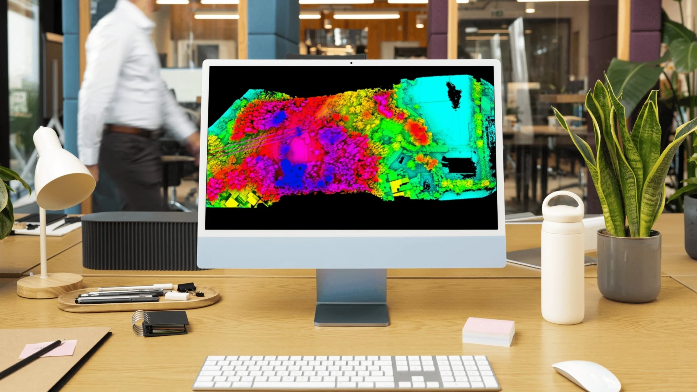
You Deserve Better, And We Deliver
Workflow-driven delivery designed specifically for CAD, GIS, and BIM integration without additional processing.
All Work In-House, USA
Every project handled in the United States by experienced professionals who understand your market and standards.
A streamlined process that works the same every time.
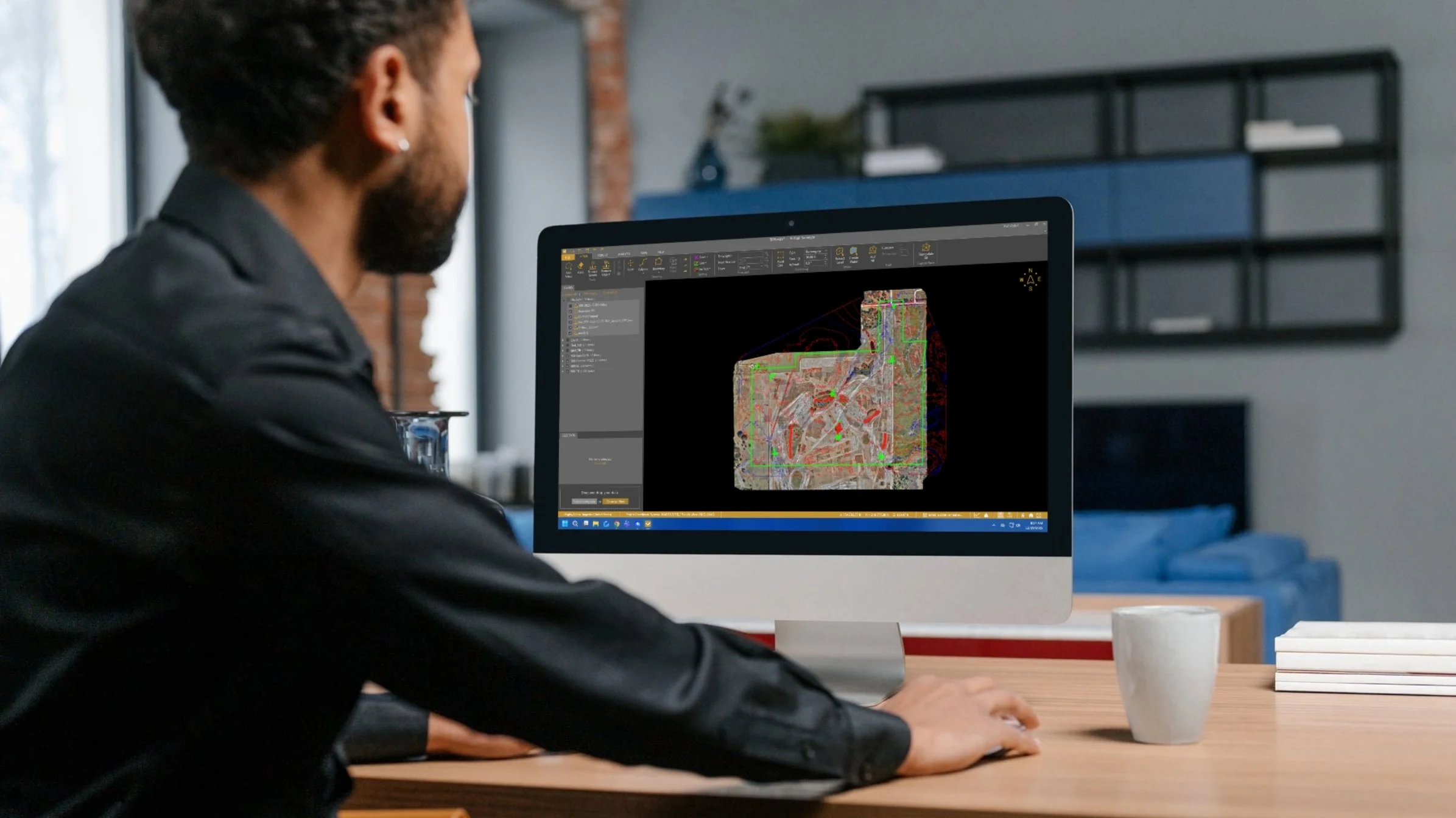
Consult & Plan
Detailed discussions of goals, budget, timeline, site conditions, accuracy requirements, and integration needs, followed by flight planning, sensor selection, ground control strategy, processing workflow design, and deliverable specifications.Implement
Field operations with real-time quality checks, advanced processing, rigorous QA/QC, and regular project updates throughout execution.Deliver & Support
Production-ready dataset delivery, team training, integration assistance, troubleshooting, and follow-up surveys as needed.
Start Your Project With the Precision You Deserve
Ready to avoid delays, reduce costs, and get the precision your project needs? Let’s talk.
Schedule a free consultation with 30 South and discover how our surveying and mapping solutions can transform your project from behind schedule to ahead of the curve.