30 South Geospatial
We understand your world because we've spent our careers in it. Our mission is simple: deliver survey-grade accuracy when you need it most.
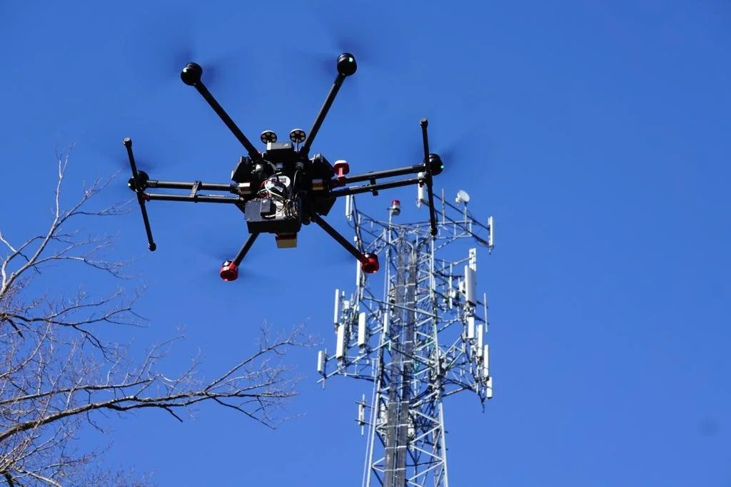
Designed by Surveyors, For Surveyors
Our Origin Story
For over two decades, we've stood on job sites where data made or broke the project. We've watched brilliant engineering designs get delayed because aerial data was off by three feet. We've seen project managers lose sleep over whether they could trust their point cloud accuracy. We've experienced the frustration of pretty pictures that looked great in a presentation but failed when it was time to do real work.
That's when we realized the problem: there were plenty of drone operators, but precious few who actually understood surveying. No one who really got it. So we built 30 South Geospatial to do it right.
Our Philosophy
We're surveyors first, drone operators second. That changes everything.
We understand accuracy standards because we've spent our careers held accountable to them. We know what production-ready means because we've been the ones trying to use the data downstream. We get the stress of tight deadlines and critical decisions because we've lived it.
Every flight plan we design, every sensor we deploy, and every dataset we deliver is built on one principle: your data should arrive ready to use, not ready to fix.
80+ Years Combined Expertise
Licensed surveyors on every project
Deep expertise in LiDAR, photogrammetry, and point cloud processing
All work performed in-house in the United States
ASPRS Positional Accuracy Standards compliance
Track record of successful projects across Florida and the Southeast
Real relationships with our clients, not just transactional engagements
Licensed Surveyors Backing Every Project: Not just drone pilots. People with professional licenses, field experience, and accountability.
In-House Operations: No outsourcing, no middlemen. Your project is handled by people who understand your standards and your region.
Built by Those Who Use the Data: We've been the engineers trying to load bad point clouds into CAD. We've been the project managers explaining data delays to clients. That experience shapes every decision we make.
Accuracy You Can Certify: Professional surveyor sign-off on every deliverable. Your reputation is safe with us.
What Sets Us Apart
Our Commitment to You
When you partner with 30 South Geospatial, you're not hiring a drone company. You're working with fellow surveyors who understand your world and refuse to deliver anything less than the accuracy your reputation demands.
We're committed to:
Delivering survey-grade accuracy every time
Clear communication from start to finish
Production-ready data that works in your workflow
Treating your project like it's ours because once you hire us, it is
Continuous improvement and innovation in our services